K-GIS 2.0 project to integrate data for administrative decisions
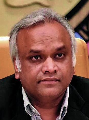
The Minister for IT and e-Governance, Priyank Kharge, stated that the Karnataka Geo-Information System (K-GIS 2.0) project will integrate data from various departments for planning, implementation, monitoring, and administrative decisions. During a departmental progress review meeting held on Friday in Bengaluru, he mentioned that information has been received from 53 government departments and institutions, covering 178 web and mobile applications, dashboards, and systems. Several apps have been developed, including Bengaluru GIS, BMRA Layout Information System, Rural Drinking Water and Sanitation Management, Geo Electricity, Water Board, Government Land, Water Stress Index Dashboard, Dishank Web App, and K-Kisan.
Originally reported by Prajavani
Summarised from the source’s public news feed without altering the facts. Read the original report for the full story.
BengaluruBWSSB